National Overview
This latest front is a slow mover, having stalled a bit over the Midwest and created a serious migration barrier to its north. Check out this still from last night around midnight, where you can see the clear zone of migration between the two frontal systems. Migration was again heavy out of Texas and the Gulf Coast with little to no Trans-Gulf migration but definitely some Circum-Gulf movement. Migration continued up through the southeastern Plains region, and up into the Northeastern U.S. See below for some interesting local action over the Upper Midwest as birds slam into that heavy precipitation.
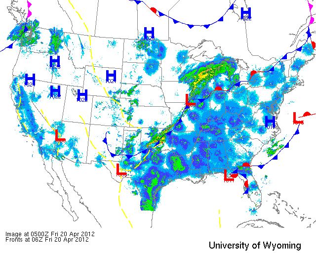
Below are the radar loops from sunset last night through 5:00am (central time) this morning
In an attempt to get the radar posted as quickly as possible, I will be publishing “as I go” each morning. Therefore you may see some incomplete posts throughout the early morning hours (5-6am Central; 6-7am Eastern Time). We’ll test out this method for a few weeks and see how well it works… your feedback, of course, is most welcome!
Mid Atlantic
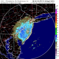
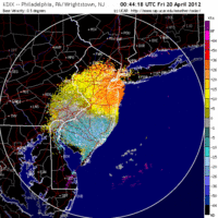
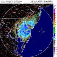
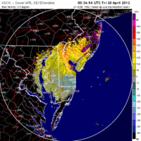
Delaware & New Jersey
Frames are every 1/2 hour. Click on the thumbnail to view the full-sized animation.
Light upper-level winds and light SSE surface winds triggered a fairly conservative migration event last night suggesting that birds may be pacing themselves a bit. It’s hard to say for sure why we didn’t see a greater flight last night, but after two nights of little to no migration I would have expected something of an ‘uncorking’ effect. Okay, so without speculating too much, let’s think about where to go today. Since winds had a touch of east in them, expect inland migrant traps to be best today. Birders in Southern NJ should hit locations along the Delaware Bay (Belleplain doing double-duty for breeders and migrants) or (even better) along the Delaware River. Farther north birders should focus on interior ridges, Garret Mountain being an obvious choice. Coastal traps should see less density and diversity given the winds, and interior hawkwatches should also outshine their coastal counterparts throughout the day. Good Birding!
Upper Midwest
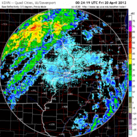
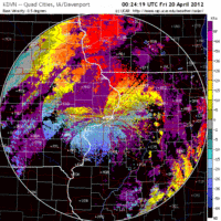
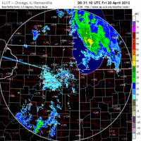
Iowa & Illinois
Frames are every 1/2 hour. Click on the thumbnail to view the full-sized animation.
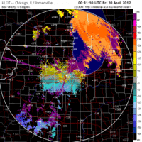
Moving to the Upper Midwest, birders around Davenport IA and Chicago IL should be out this morning looking for grounded migrants as many took to the skies late last night only to be forced down by heavy precipitation. The influx of new birds was greater at this latitude than for the greater Wisconsin region, so the probability for interesting fallout conditions is therefore greater. Get out and bird!
Wisconsin
Frames are every 1/2 hour. Click on the thumbnail to view the full-sized animation.
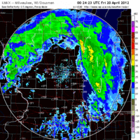
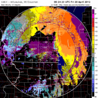
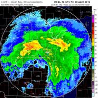
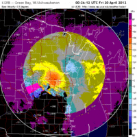
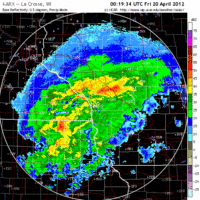
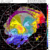
The short and sweet: Southeastern Wisconsin should have experienced fallout conditions whereas the rest of the state was in a holding pattern. This, of course, is explained by that massive frontal boundary crossing right over our fair state. Looking at the La Crosse and Green Bay radars you can see that no birds took to the sky because of the opposing winds and migration-prohibitive storms. Farther south and east, though, things were different, as birds were moving up from Chicago (see below) into the Milwaukee airspace, only to be shut down early this morning by the heavy precipitation along the front. Coupled with strong SW winds within the front, birds were pushed both up against the shoreline and also down to the ground as the front passed. Unfortunately NE winds below and behind the front may have pushed birds inland somewhat resulting in less fallout along the immediate coast. Birders in the Milwaukee area should check local patches both along the coast and inland from it to see the effect of these NE winds.
As always, woodcreeper.com depends on YOU to report your sightings and be our ‘eyes on the ground’, so please come back and give us an idea of how we’re doing predicting birding conditions in your neck of the woods.
ÂFor migration updates covering other regions check-
The Northwoods BIRDAR – The Upper Peninsula of Michigan and south shore of Lake Superior <- BRAND NEW!
Badbirdz Reloaded – Florida and the Southeast
Birds Over Portland – The Pacific Northwest
Nemesis Bird – Pennsylvania and the Ohio Valley
Tom Auer (aka The Skua) – New England
One response to “Reading between the lines: birds on the move!”
My recording station in Hunterdon Co, NJ was quiet until after midnight when things picked up–still mostly sparrows buy 72 “Tseep” calls for the night was much better than the handful the last few nights.