National Overview
With this cold-warm-stationary front draped across the country, the bulk of heavy migration east of the Rockies continues to be concentrated in the southern half of the U.S. Heavy trans-Gulf and circum-Gulf migration continued from yesterday afternoon through early this morning across the entire Gulf Coast from Texas to the western Florida panhandle. ESE winds across the Florida Straits push Caribbean migrants into the Gulf and eventually to the eastern Gulf Coast today. Southeast winds across the midsection of the country did allow some birds up into the Upper Midwest, but the bulk of the Neotropical migrants are still concentrated in the south. Along the east coast low pressure is maintaining NW winds which appear to have kept much from moving over there. I’ve posted the full week’s BirdCast (migration forecast) over at Cornell’s eBird page which you can read here.
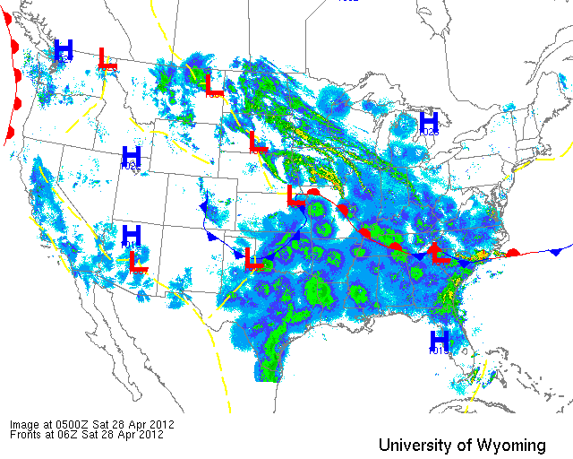
Below are the radar loops from sunset last night through 5:00am (central time) this morning
Since I will be publishing “as I go” each morning you may see some incomplete posts throughout the early morning hours. Don’t worry- it’s coming!
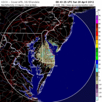
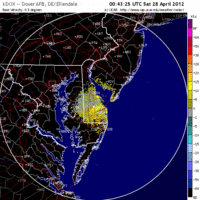
Mid Atlantic
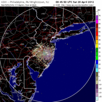
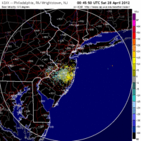
Delaware & New Jersey
Frames are every 1/2 hour. Click on the thumbnail to view the full-sized animation.
Migration was absent from the Mid Atlantic last night except for maybe the extreme southern boundary. Over New Jersey the sky was clear of most migrants as northwest winds dominated the upper atmosphere. Expect little change from yesterday as the region will have to wait until high pressure builds in early next week… but then it gets really good!
Upper Midwest
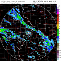
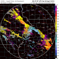
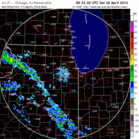
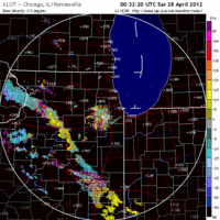
Iowa & Illinois
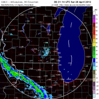
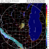
Frames are every 1/2 hour. Click on the thumbnail to view the full-sized animation.
Migrants and rain! While the south continues to host the vast majority of migrants, the Upper Midwest did experience some moderate flow last night even despite the heavy storms that pushed through early this morning. Birds can be seen lifting off from both IA and IL last night heading on a SE->NW trajectory across the region. Storm passage appears to have done little in terms of knocking birds down so expect them to be dispersed across the landscape today with higher densities inland than along the Lake Michigan lake shore. Check puddles and flooded fields for shorebirds today as I suspect there were many moving under such conditions last night. How about an early Cerulean sneaking onto territory in Wyalusing?
Wisconsin
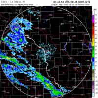
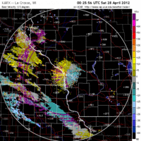
Frames are every 1/2 hour. Click on the thumbnail to view the full-sized animation.
The same goes for Wisconsin, where southeast winds triggered moderate migration across most of the region, and downright heavy migration in the northwest! See Max’s interpretation over at the North Woods BIRDAR site where he includes the radar from Duluth. Down state, though, things were a little more conservative (strange, right?) in terms of density. Expect new birds across the state with the best bets being spring migrant traps. Lake Farm Park in Madison, and Pheasant Branch Conservancy in Middleton would be good choices, but also any of the flooded fields in Dane or Columbia county should be checked for wayward shorebirds as well. I suspect the Lake Michigan shoreline will be less productive for landbirds today given the wind direction and speed- although waterfowl and more coastal species have been quite obliging there in the last week.
As always, woodcreeper.com depends on YOU to report your sightings and be our ‘eyes on the ground’, so please come back and give us an idea of how we’re doing predicting birding conditions in your neck of the woods.
For migration updates in other regions check-
Michigan’s Upper Peninsula – The Northwoods BIRDAR by Max Henschell <- NEW!
New England – Tom Auer’s blog
Florida/SE – Badbirdz Reloaded by Angel and Mariel Abreu
PA/Ohio Valley – Nemesis Bird by Drew Weber
NW Ohio – Birding the Crane Creek by Kenn Kaufman
Arizona – Words About Birds by Tim Schreckengost <- NEW!
Pac NW – Birds Over Portland by Greg Haworth
Continental US – eBird BirdCast Forecast & Report by Team eBird
