National Overview
Lots of birds moving last night with the heaviest flights along the eastern seaboard in advance of the latest front. Across the country radars picked up migration though, signalling that we’re in the thick of spring. Even through the middle of the country, with upper level winds out of the north, birds continue to push forth to the breeding grounds.
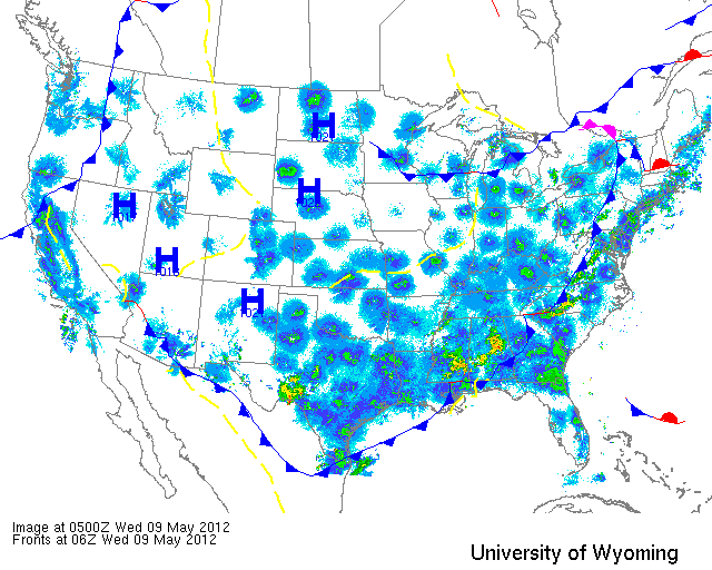
Below are the radar loops from sunset last night through 5:00am (central time) this morning
Since I will be publishing “as I go” each morning you may see some incomplete posts throughout the early morning hours. Don’t worry- it’s coming!
Mid Atlantic
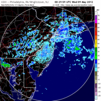
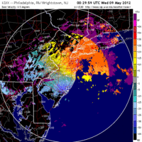
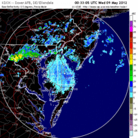
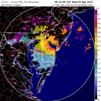
Delaware & New Jersey
Frames are every 1/2 hour. Click on the thumbnail to view the full-sized animation.
The Mid Atlantic was under the influence of the latest cold front, setting up southwest winds and bringing precipitation to the region early this morning. Migration was really concentrated along the east coast as birds were pushed eastward on the strengthening southwest winds. By looking at the velocity images you can see how the target speed increases and the direction shifts as winds push birds over Cape May and Sandy Hook early today. Migration is then followed by heavy precipitation which appears to have put many birds down on the ground. If you’re near the coast get out there! Inland sites should also be good today so if you experienced heavy rain in the early morning hours (2am – 5am), check out your local patch before heading too far afield! Good Birding!!
Upper Midwest
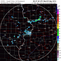
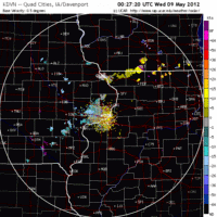
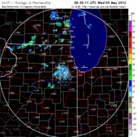
Iowa & Illinois
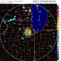
Frames are every 1/2 hour. Click on the thumbnail to view the full-sized animation.
Strong northerly flow over the region seems to have put the damper on migration over IA and IL, at least for the time being. No migration was evident over Davenport IA and only a small number of birds appeared to move over Chicago last night. Those that did were headed up the lake shore again, so birders in the Windy City might think to check there first this morning. That said, I don’t expect any major changes to density and diversity in either location today.
Wisconsin
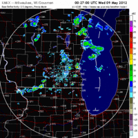
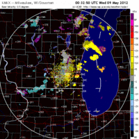
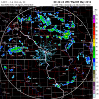
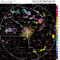
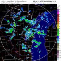
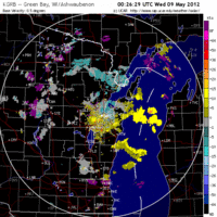
Frames are every 1/2 hour. Click on the thumbnail to view the full-sized animation.
Migration was very light over Wisconsin last night as north winds continue to build over the region. Some birds did try to push through at least during the early part of the night with all radars showing a small pulse after sunset. Still, expect little change today in terms of diversity and density as birds continue to make small movements into better foraging habitat.
As always, woodcreeper.com depends on YOU to report your sightings and be our ‘eyes on the ground’, so please come back and give us an idea of how we’re doing predicting birding conditions in your neck of the woods.
For migration updates in other regions check-
Michigan’s Upper Peninsula – The Northwoods BIRDAR by Max Henschell <- NEW!
New England – Tom Auer’s blog
Florida/SE – Badbirdz Reloaded by Angel and Mariel Abreu
PA/Ohio Valley – Nemesis Bird by Drew Weber
NW Ohio – Birding the Crane Creek by Kenn Kaufman
Arizona – Words About Birds by Tim Schreckengost <- NEW!
Pac NW – Birds Over Portland by Greg Haworth
Continental US – eBird BirdCast Forecast & Report by Team eBird
2 responses to “Heavy migration up the east coast with fallout potential for the Mid Atlantic”
In Washington DC I was surprised that I had 6 warbler species and a pair of Scarlet Tanagers in a small urban park. I was surprised because looking at the radar returns for the Mid Atlantic, it looks like it rained pretty constantly through the night. Apparently the birds put down before these showers hit or they migrated between the storms.
Jason- check it out:
http://weather.aero/data/radar/nws_nids/BREF1/KLWX/20120509_045723_black.png
birds were migrating over DC before and after the storms. Strong SW flow gave them some tailwind they couldn’t resist. The precip might have brought a few down too, though. Are you suggesting that 6 species is good? or that many birds left?
thanks for your feedback!
David