National Overview
One of the fascinating things about spring migration is that once it gets going, it really doesn’t die down until June. Conditions were mixed across the country due to a number of surface lows and frontal boundaries, with precipitation along the East Coast keeping some birds from moving locally. At the regional scale, though, birds were migrating from coast to coast and from Mexico to Manitoba.
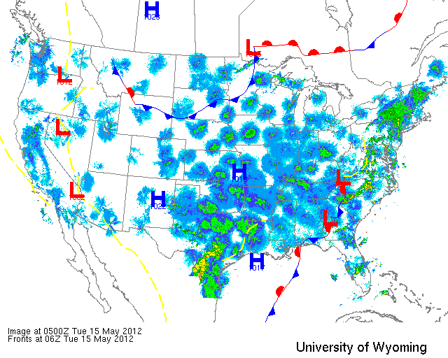
Below are the radar loops from sunset last night through 4:00am (central time) this morning
Since I will be publishing “as I go” each morning you may see some incomplete posts throughout the early morning hours. Don’t worry- it’s coming!
Mid Atlantic
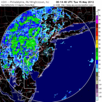
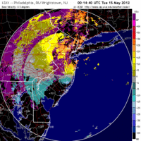
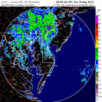
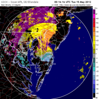
Delaware & New Jersey
Frames are every 1/2 hour. Click on the thumbnail to view the full-sized animation.
The front moving across the east coast last night kept most birds from moving over the Mid Atlantic except for the most easterly sector where southerly winds and clear skies opened up the flyway for moderate levels of migration. New Jersey, therefore, did receive some new birds this morning with the added possibility of localized concentrations due to the precipitation. Judging by the velocity I would expect the best birding conditions to be at interior ridges such as Garret Mountain, and those stopover sites along the northern Delaware Bay shore and along the Delaware River. Coastal hotspots such as Sandy Hook should see new birds today as well and could possibly have some pockets of high migrant density due to the precipitation early this morning. Go Birding!
Upper Midwest
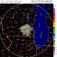
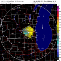
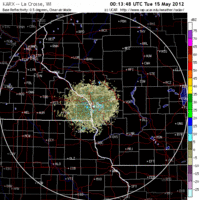
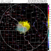
Iowa & Illinois
Frames are every 1/2 hour. Click on the thumbnail to view the full-sized animation.
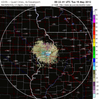
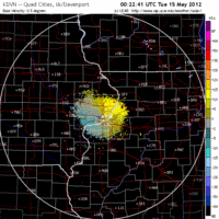
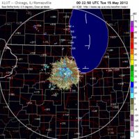
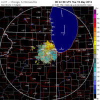
Things over the Upper Midwest are still sub-optimal for a big influx of birds, and as such we continue to get low-level and highly dispersed migration through the region. Upper level winds over IA and IL are still out of the NW which is keeping nay birds from moving up into the region from farther south, although light southerly winds are allowing those migration-ready birds to move out. We saw this on both the Davenport and Chicago radars where low to moderate levels of migration were apparent last night. Migrant density did drop quickly after midnight suggesting birds are taking short hops under such sub-optimal conditions.
Wisconsin
Frames are every 1/2 hour. Click on the thumbnail to view the full-sized animation.
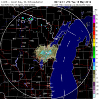
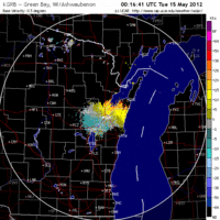
The same hold true for Wisconsin where light to moderate levels of migration were apparent across the state. Expect little concentration in any one spot as birds will be dispersed across the landscape today. With so many birds in the system, though, birding conditions should still be good throughout the state’s many Important Bird Areas. Many breeding birds are on territory now, filling the air with birdsong wherever you go. Get out and bird- you never know what you might find!
As always, woodcreeper.com depends on YOU to report your sightings and be our ‘eyes on the ground’, so please come back and give us an idea of how we’re doing predicting birding conditions in your neck of the woods.
For migration updates in other regions check-
Michigan’s Upper Peninsula – The Northwoods BIRDAR by Max Henschell <- NEW!
New England – Tom Auer’s blog
Florida/SE – Badbirdz Reloaded by Angel and Mariel Abreu
PA/Ohio Valley – Nemesis Bird by Drew Weber
NW Ohio – Birding the Crane Creek by Kenn Kaufman
Arizona – Words About Birds by Tim Schreckengost <- NEW!
New Mexico – Albuquerque Birding by Matt O’Donnell <- NEW!
Pac NW – Birds Over Portland by Greg Haworth
Continental US – eBird BirdCast Forecast & Report by Team eBird
