National overview
Strong high pressure over the Upper Midwest and Canada triggered strong northwesterly winds over the region last night and prevented any significant migration into or out of the region. Otherwise migration was apparent along the Gulf Coast and throughout Florida as well as a bit over New England.
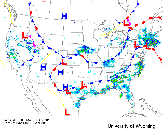
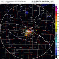
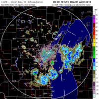
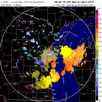
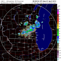
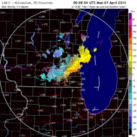
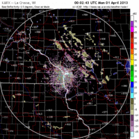
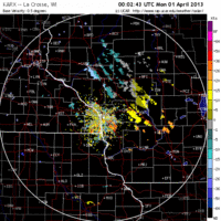
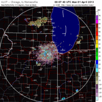
Below are the radar loops from sunset last night through 5:00am (central time) this morning
Upper Midwest
Minnesota & Wisconsin
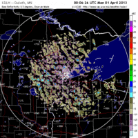
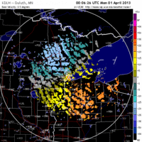
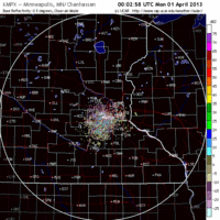
Frames are every 1/2 hour. click on the thumbnail to view the full-sized animation.
As you can see from the Minnesota radars, not much of anything going on last night and whatever was could be seen moving NW->SE with the prevailing winds.
The same goes for Wisconsin where the only thing on the radar was some localized patches of precipitation moving with the prevailing northwesterlies.
Iowa & Illinois
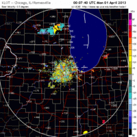
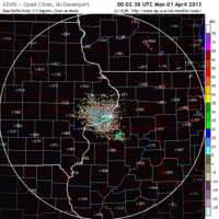
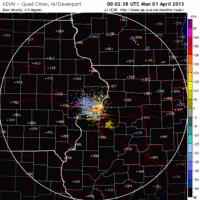
Frames are every 1/2 hour. click on the thumbnail to view the full-sized animation.
And at the risk of sounding like a broken record, the same weather pattern and subsequent lack of migration was apparent all the way down through the Midwest.
With no migration activity present last night I wouldn’t expect any large concentrations of new arrivals anywhere throughout the Upper Midwest. Birds that arrived over the last few days should be moving into optimal habitat today and in subsequent days, so focusing on high-quality stopover sites is probably going to yield the best results. Waterfowl are plentiful and the warm temps are opening up habitat faster than birders can survey it, so check for ephemeral pools in agricultural areas for both early shorebirds and the expected geese, ducks, swans and cranes.
A REEVE (female Ruff) was found two days ago, by Dave Schrab, just west of Horicon Marsh in Wisconsin and continued through yesterday evening. In all probability it will be around today given the poor migration conditions overnight.
As always, woodcreeper.com depends on you to report your sightings and be our ‘eyes on the ground’, so please come back and give us an idea of how we’re doing predicting birding conditions in your neck of the woods (make a comment, shoot me an email, copy-paste your eBird checklist; all of the above work just fine!).
Good Birding,
David
3 responses to “No migration over Midwest as high pressure takes over”
Chiwaukee Prairie in Pleasant Prairie, WI, in the most southeast corner of the state, had an E. Meadowlark and an E. Bluebird pair, and several buffleheads, Scaups and goldeneyes at the local marina on Sunday, March 31.
Good to see you back on line David!
Cheers!
greg haworth
Thanks for the report, John! Do you know if those Meadowlarks and Bluebirds were around in previous days?
Greg- thanks man; it’s good to be back! I’m excited to keep tabs on the Pacific NW via your site http://birdsoverportland.wordpress.com/