National overview
As my friend Kyle used to say when things didn’t necessarily go the way he hoped, “Sometimes chicken; sometimes feathers”. As the most recent cold front marched eastward over the region last night it triggered widespread migration for most of the US from Texas to Chicago and east to the Mid-Atlantic. Unfortunately for those in the Upper Midwest in the direct path of that low pressure, heavy precipitation stifled much of the migration activity and whatever it didn’t, the strong northwesterly winds behind the front sure did. There were a few holdout exceptions, though, which I highlight below.
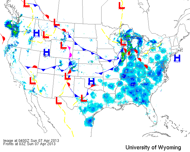
Below are the radar loops from sunset last night through 5:00am (central time) this morning
Upper Midwest
Minnesota & Wisconsin
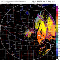
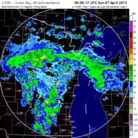
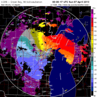
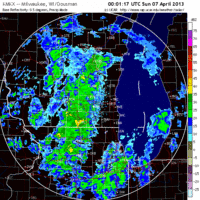
Frames are every 1/2 hour. click on the thumbnail to view the full-sized animation.
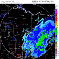
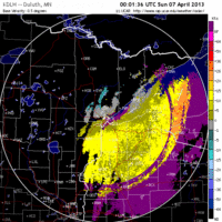
By the time night fell on the Twin Cities and Duluth, the front had already passed and northwest winds dominated. Therefore neither radar indicated nocturnal migration last night.
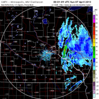
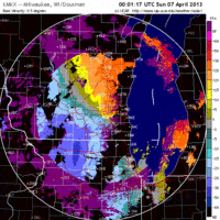
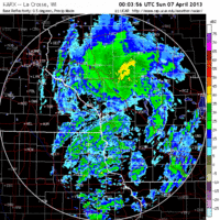
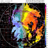
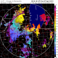
Similarly, Green Bay was under the influence of heavy precipitation at sunset and by the time it cleared the winds had turned more northerly. There was a little apparent migration early on in the evening so birders on the Door Peninsula should pick up a first-of-spring species or two, but no major concentrations are expected. La Crosse is far enough to the west that winds were already out of the west at sunset and turned northwesterly soon thereafter with little to show for migration. As we move to Milwaukee we start to get into the frontal boundary with strong southwest winds and precipitation. You can determine the wind direction by viewing the velocity animation, and you can see how it turns from SW->W->NW from sunset last night through the early morning today. Again, because of the heavy precipitation at sunset very little was moving overhead and therefore I don’t expect a lot of influx into the region today. A few birds may be piled up against the lake this morning, though, so anyone looking to get out should consider heading to one of the lakeshore parks.
Iowa & Illinois
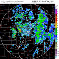
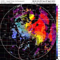
Frames are every 1/2 hour. click on the thumbnail to view the full-sized animation.
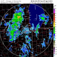
Light movement over Davenport was evident on the radar last night as winds remained WSW after the passing precipitation. The flight over the Chicago area, though, was considerably more significant as birds took to the sky even despite strong passing thunderstorms and pushed northeast over Lake Michigan.
Given the lack of significant migration over most of the forecast area I don’t expect to see much change in diversity or density. The only exception to this is the southwest Lake Michigan area which did receive some new birds on the edge of the big migration wave that bypassed most of us to our east last night. Unfortunately it looks like we’ll see a repeat of this pattern starting on Monday night, as another low pressure system sweeps across the Upper Midwest to our south. Let’s hope the forecast changes a bit so we can see some of these migrants being swept up into the Great Lakes region!
As always, woodcreeper.com depends on you to report your sightings and be our ‘eyes on the ground’, so please come back and give us an idea of how we’re doing predicting birding conditions in your neck of the woods.
Good Birding,
David
For migration updates in other regions check-
Michigan’s Upper Peninsula – The Northwoods BIRDAR by Max Henschell
New England – Tom Auer’s blog
Florida/SE – Badbirdz Reloaded by Angel and Mariel Abreu
PA/Ohio Valley – Nemesis Bird by Drew Weber
NW Ohio – Birding the Crane Creek by Kenn Kaufman
Pac NW – Birds Over Portland by Greg Haworth
Continental US – eBird BirdCast Forecast & Report by Team eBird

One response to “Birds bypass us to the east as low pressure sweeps across region”
[…] woodcreeper.com’s map from 11:00 p.m. last night (Saturday) to see how close all of those migrants are to Morris and […]