National overview
Favorable migration conditions were evident for at least part of the night throughout the eastern US as a series of surface lows pushed their way across the country. Heavy precipitation along the stationary front draped across northern Missouri and southern Iowa, as well as the heavy precipitation moving across central and northern Wisconsin, appears to have caused some localized fallout conditions in these areas. See the below sections for more specifics. For the national composite animation check out Paul Hurtado’s site here.
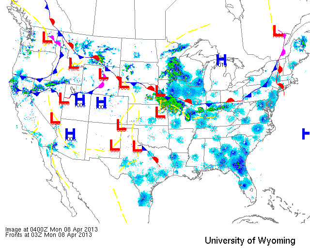
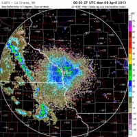
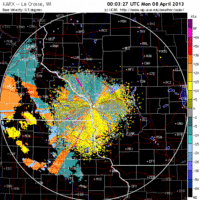
Below are the radar loops from sunset last night through 5:00am (central time) this morning
Upper Midwest
Minnesota & Wisconsin
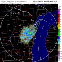
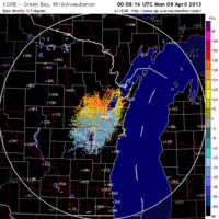
Frames are every 1/2 hour. click on the thumbnail to view the full-sized animation.
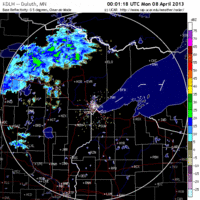
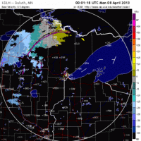
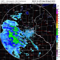
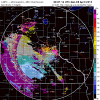
Heavy precipitation moved in quickly last night over most of Minnesota, but some birds managed to get up beforehand. Birders from the Twin Cities up through Duluth should see some new birds this morning.
FALLOUT CONDITIONS are probable from La Crosse to Eu Claire, Wisconsin this morning so local area birders should first check their local patches before heading far afield. A moderate to heavy migration event was evident over the La Crosse radar station last night with birds heading NNW towards Eu Claire. Since we’re still quite early in migration expect this to be a mix of waterfowl and early woodland species so checking flooded farm fields may be just as productive as small woodlots. In either case, please report back any sightings so we can discern how this played out on the landscape today. As for Milwaukee and Green Bay, moderate to heavy migration was evident over both stations last night with birds traveling NNW across the region. Expect new birds to be dispersed throughout the region this morning, with the highest densities west of the lakeshore (birds were not being pushed towards the lake) such as in eastern Oconto and Marinette counties.
Iowa & Illinois
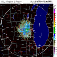
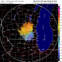
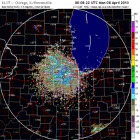
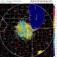
Frames are every 1/2 hour. click on the thumbnail to view the full-sized animation.
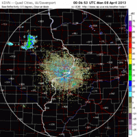
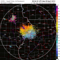
Heavy precipitation did move in over northern IA and IL, but not before most of those birds headed out to the NNW. The timing of precipitation over Davenport suggests the are should have seen a net loss of birds this morning. This seems less so for Chicago, where more birds were coming in from the south throughout the early morning hours. Either way it’s a net gain for southern Wisconsin as many of these birds pushed up into the region by this morning.
Last night set up quite a complicated picture of migration with lots of starts and stops due to passing storm systems. Conditions appear to have set up at least a few early spring fallouts across the region and birders who experienced heavy precipitation between midnight and 5am should consider checking their local patch this morning. Either way birders throughout the Upper Midwest should be seeing some species and density turnover today… even up in the northern reaches, although those changes will be much smaller still.
As always, woodcreeper.com depends on you to report your sightings and be our ‘eyes on the ground’, so please come back and give us an idea of how we’re doing predicting birding conditions in your neck of the woods.
Good Birding,
David
For migration updates in other regions check-
Michigan’s Upper Peninsula – The Northwoods BIRDAR by Max Henschell
New England – Tom Auer’s blog
Florida/SE – Badbirdz Reloaded by Angel and Mariel Abreu
PA/Ohio Valley – Nemesis Bird by Drew Weber
NW Ohio – Birding the Crane Creek by Kenn Kaufman
Pac NW – Birds Over Portland by Greg Haworth
Continental US – eBird BirdCast Forecast & Report by Team eBird

