National overview
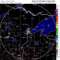
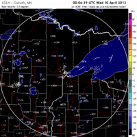
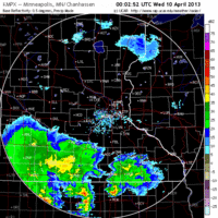
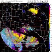
As with yesterday, a stationary front draped across the US represents the boundary between migration and none. North winds and precipitation to the north of the boundary are keeping birds grounded, while southerly winds to the south of the boundary area bringing them into the Midwest. I’m on my way to Texas this morning to take advantage of some of that activity while I help out my buddy Jeff Bouton at the Leica booth. If you’re down there, make sure to stop by as we’ll be doing some live migration forecasting from the booth, and hopefully witnessing some coastal fallout first-hand. I’ve posted the radar loops below but don’t get too excited… there wasn’t much in terms of migration over our area.
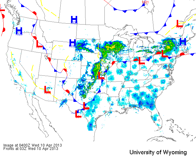
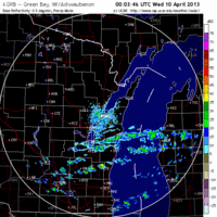
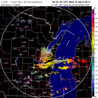
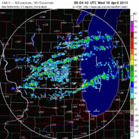
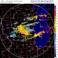
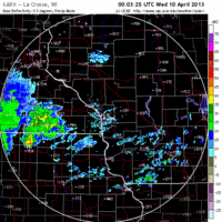
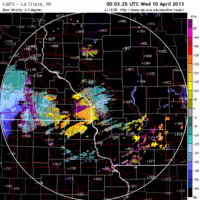
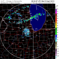
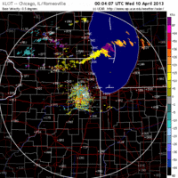
Below are the radar loops from sunset last night through 5:00am (central time) this morning
Upper Midwest
Minnesota & Wisconsin
Frames are every 1/2 hour. click on the thumbnail to view the full-sized animation.
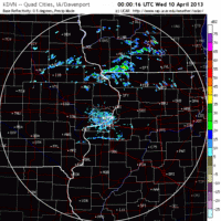
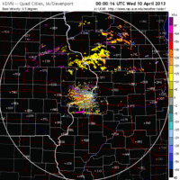
Iowa & Illinois
Frames are every 1/2 hour. click on the thumbnail to view the full-sized animation.
Nothing much going on in our region last night with northerly flow dominating most of the forecast area. The only exception was IA and IL where some birds were heading north. We’ll have to wait for this front to push out to the east later this week before we see any significant influx of birds.
As always, woodcreeper.com depends on you to report your sightings and be our ‘eyes on the ground’, so please come back and give us an idea of how we’re doing predicting birding conditions in your neck of the woods.
Good Birding,
David
For migration updates in other regions check-
Michigan’s Upper Peninsula – The Northwoods BIRDAR by Max Henschell
New England – Tom Auer’s blog
Florida/SE – Badbirdz Reloaded by Angel and Mariel Abreu
PA/Ohio Valley – Nemesis Bird by Drew Weber
NW Ohio – Birding the Crane Creek by Kenn Kaufman
Pac NW – Birds Over Portland by Greg Haworth
Continental US – eBird BirdCast Forecast & Report by Team eBird

