National overview
Migration was restricted to the Pacific, Gulf, and Atlantic coasts last night. Low pressure over the Great Lakes kept the Upper Midwest under constant northerly winds and precipitation, a great recipe for keeping birds from entering or leaving the region. There is a little light at the end of this tunnel though! Read on to find out when things will finally break.
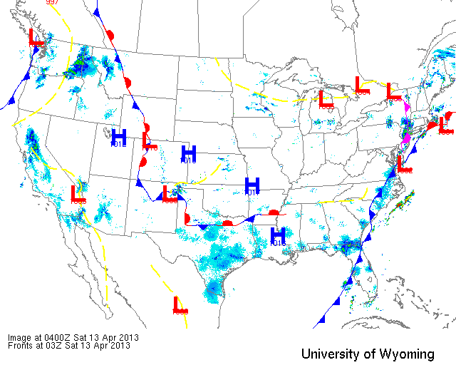
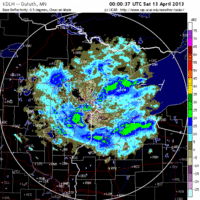
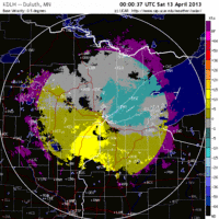
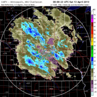
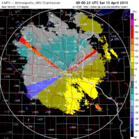
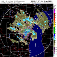
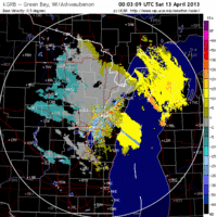
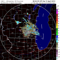
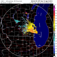
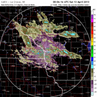
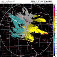
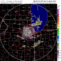
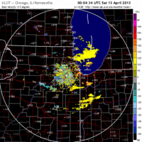
Below are the radar loops from sunset last night through 5:00am (central time) this morning
Upper Midwest
Minnesota & Wisconsin
Frames are every 1/2 hour. click on the thumbnail to view the full-sized animation.
Northeast winds over much of the Upper Midwest kept birds down once again. No migration was evident over either Duluth or the Twin Cities radar stations. Expect birding conditions consistent with yesterday.
Northerly winds dominated the region last night and precipitation continued to churn out of the low pressure cells in the region keeping birds on the ground. Expect birding conditions consistent with yesterday.
Iowa & Illinois
Frames are every 1/2 hour. click on the thumbnail to view the full-sized animation.
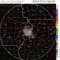
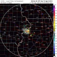
Nothing going on over IA or IL either last night as conditions for the region were consistently bad for nocturnal migration.
I know everyone is wondering when this is going to break. Fortunately it looks like a front will push into the Midwest on Sunday setting up southerly flow for Sunday night all the way from Texas to southern Wisconsin. We should see some of this log-jam of birds rush into the region overnight on Sunday and throughout the region on Monday morning. The intensity of precipitation and opposing winds along the frontal boundary will determine how far these birds are able to push northward. The bad news is that, assuming the long-range forecast is correct, after this front pushes through we will see another progression of lows dip down into the Upper Midwest setting up this dichotomy of migration to our south, but poor conditions over our immediate area. But let us cross that bridge when we get there. In the meantime, look forward to some new birds on Monday morning. I’ll post a more specific forecast as the models begin to converge over the next two days.
Good Birding,
David
For migration updates in other regions check-
Michigan’s Upper Peninsula -Â The Northwoods BIRDARÂ by Max Henschell
New England -Â Tom Auer’s blog
Florida/SE - Badbirdz Reloaded by Angel and Mariel Abreu
PA/Ohio Valley - Nemesis Bird by Drew Weber
NW Ohio - Birding the Crane Creek by Kenn Kaufman
Pac NW - Birds Over Portland by Greg Haworth
Continental US - eBird BirdCast Forecast & Report by Team eBird

