National overview
As the latest front continues to move east across the US, southeasterly winds in advance of the front triggered moderate (10-15 dBZ returns) to heavy (20-25 dBZ returns) migration. Migration was heaviest along the frontal boundary from Northeast Wisconsin to South Texas. Migration was evident across much of the Central and Mississippi Flyways as well as throughout the Desert Southwest and the Pacific Coast. To really appreciate the scope of this migration, be sure to check out Paul Hurtado’s radar loop from 3pm yesterday through 3pm today (eventually).
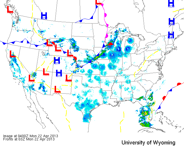
Below are the radar loops from sunset last night through 5:00am (central time) this morning
Upper Midwest
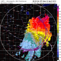
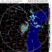
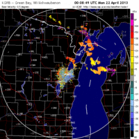
Minnesota & Wisconsin
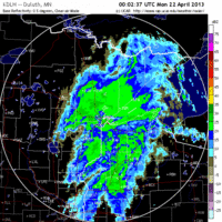
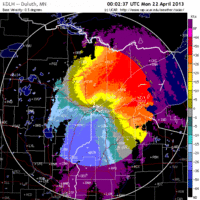
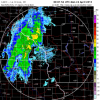
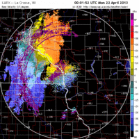
Frames are every 1/2 hour. click on the thumbnail to view the full-sized animation.
By sunset last night the front had begun moving across Eastern Minnesota, and as a result northwest winds and heavy precipitation thwarted any movement into or out of the region.
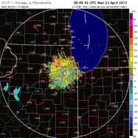
Except for the northwest corner of Wisconsin, conditions were ripe last night for a big flight of birds into the state. Heavy migration (20-25 dBZ) was evident over all three of the Wisconsin radar stations  last night as birds pushed northwest, then north, then northeast as the front moved through the state. Fallout conditions are not clear-cut as winds remained out of the southwest for most of the state as of this morning, but those birders experiencing precipitation between midnight and sunrise should check their local patches this morning. The best chance for a fallout occurred on a line roughly between Eu Claire and Iron Mountain. I would expect some localized concentrations on the western shore of Green Bay including any migrant traps around the city of Green Bay. I also expect new birds throughout the Door Peninsula today.
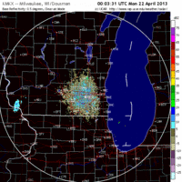
Iowa & Illinois
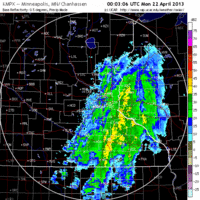
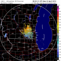
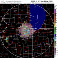
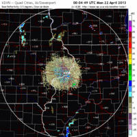
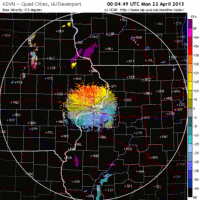
Frames are every 1/2 hour. click on the thumbnail to view the full-sized animation.
Heavy migration over Northern IA and IL last night should mean new birds throughout the forecast area. No significant precipitation was present to put birds down so expect them to be dispersed across the landscape this morning.
As always, woodcreeper.com depends on you to report your sightings and be our ‘eyes on the ground’, so please come back and give us an idea of how we’re doing predicting birding conditions in your neck of the woods.
Good Birding,
David
For migration updates in other regions check-
Michigan’s Upper Peninsula -Â The Northwoods BIRDARÂ by Max Henschell
New England -Â Tom Auer’s blog
Florida/SE - Badbirdz Reloaded by Angel and Mariel Abreu
PA/Ohio Valley - Nemesis Bird by Drew Weber
NW Ohio - Birding the Crane Creek by Kenn Kaufman
Pac NW - Birds Over Portland by Greg Haworth
Continental US - eBird BirdCast Forecast & Report by Team eBird

2 responses to “Big flight into the Upper Midwest as latest front moves across the region”
Two new species yesterday, Sunday 4/21: Broad-winged Hawk and Field Sparrow here in NW Richland County, in the morning snow squall. Today, a Broad-winged Hawk again, same area, along Merry Hill Road. More Field Sparrows singing, and two Brown Thrashers.
New yesterday for Vernon County: 2 Barn Swallows flying low over a flooded field, skimming the water for insects.
Thanks Barbara!