National overview
Migration continued up the Pacific, Central, Mississippi and Eastern Flyways last night, broken up a bit by a stationary front draped across the Southern Plains region. High pressure over the Great Basin limited western migration to the coastal states, but otherwise April 27 is looking exactly like April 27th should: lots of Trans-Gulf and Circum-Gulf migration and many birds heading north from the southern states towards the breeding grounds in the north.
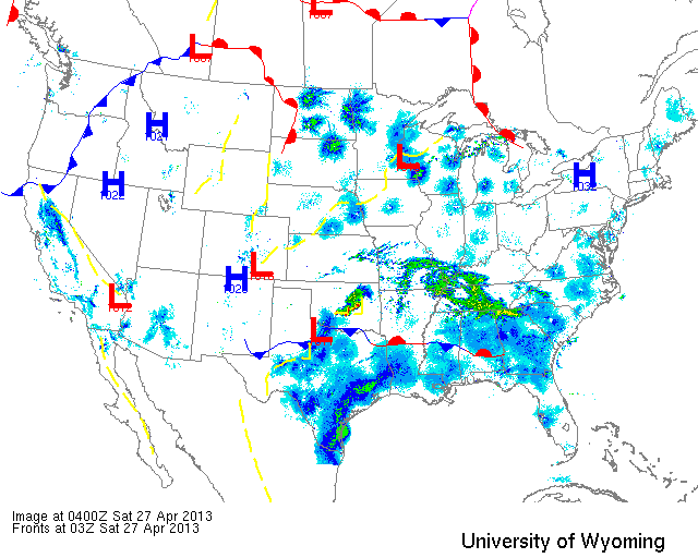
Below are the radar loops from sunset last night through 5:00am (central time) this morning
Upper Midwest
Minnesota
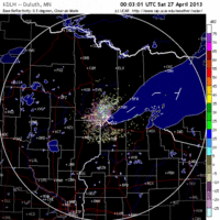
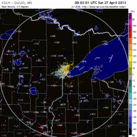
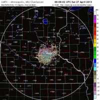
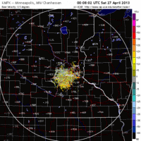
Frames are every 1/2 hour. click on the thumbnail to view the full-sized animation.
Migration over the Upper Midwest was heaviest in the north suggesting the bulk of the birds moving across the region are still the short-distance and early spring migrants (kinglets, yellow-rumps, sapsuckers, hermit thrushes, etc.). Heavy migration was evident on both the Twin Cities and Duluth radars with migrants heading in a general SSE->NNW trajectory. Expect new birds throughout the region with heaviest concentrations at known spring migrant traps. Around the Twin Cities, these will most likely be small wooded patches on the east side of the radar coverage as the radar did indicate some asymmetry favoring the eastern portion. Any city parks along the river should be good bets this morning. Duluth birders as well should hit known spring hotspots as birds were not pushed directly to towards the lake and therefore will be dispersed generally across the landscape.
Wisconsin
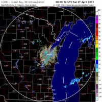
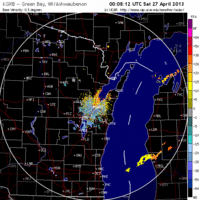
Frames are every 1/2 hour. click on the thumbnail to view the full-sized animation.
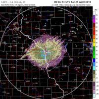
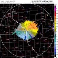
Moderate to heavy migration was apparent on the La Crosse, Green Bay and Milwaukee radars last night, and in these cases birds were heading from SW->NE. This bodes well for birders along the Lake Michigan shoreline from Milwaukee northward, including the Door Peninsula and both coasts of Green Bay. Migration was heaviest in the north, so expect densities to be highest in the north while some new diversity for the state is most likely in the south.
Iowa & Illinois
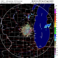
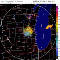
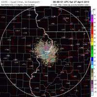
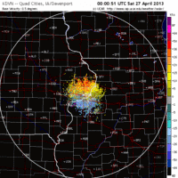
Frames are every 1/2 hour. click on the thumbnail to view the full-sized animation.
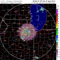
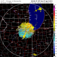
Migration was noticeably lighter over northern IA and IL, but birds were still on the move nonetheless. Headings were similar to Wisconsin with most birds moving to the NE, suggesting that hotspots along the Chicago lakefront should be good today. Palos Woods would also be a good spot to check this morning although a bigger flight over the next few days will likely produce more at that location.
As always, woodcreeper.com depends on you to report your sightings and be our ‘eyes on the ground’, so please come back and give us an idea of how we’re doing predicting birding conditions in your neck of the woods.
Good Birding,
David
For migration updates in other regions check-
Michigan’s Upper Peninsula -Â The Northwoods BIRDARÂ by Max Henschell
New England -Â Tom Auer’s blog
Florida/SE - Badbirdz Reloaded by Angel and Mariel Abreu
PA/Ohio Valley - Nemesis Bird by Drew Weber
NW Ohio - Birding the Crane Creek by Kenn Kaufman
Pac NW - Birds Over Portland by Greg Haworth
Continental US - eBird BirdCast Forecast & Report by Team eBird
