National overview
When the map gets complicated with weather systems it pays to check out the Hurtado Radar loop to understand what’s going on. Migration was evident across the country last night, although high pressure over New England and the Mid Atlantic kept birds down along the east coast, and heavy precipitation over Florida and along parts of the Central and Mississippi Flyways reduced migration locally. Some interesting weather over the Upper Midwest, as the once stationary front backed up as a warm front overnight, means more birds for southeastern Wisconsin today. See below for details.
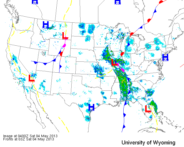
Below are the radar loops from sunset last night through 5:00am (central time) this morning
Upper Midwest
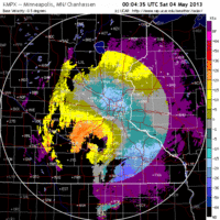
Minnesota
Frames are every 1/2 hour. click on the thumbnail to view the full-sized animation.
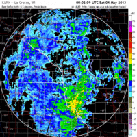
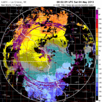
Minnesota was under a hot mess of precipitation last night and neither radar indicated any nocturnal migration. Expect conditions consistent with the previous two days with only some localized movements into more optimal foraging habitat (which still may be favoring feeders considering the weather).
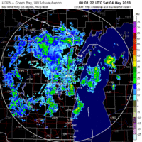
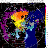
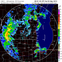
Wisconsin
Frames are every 1/2 hour. click on the thumbnail to view the full-sized animation.
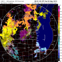
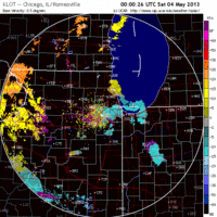
Because of this highly precipitous frontal system, migration was restricted to the eastern third of Wisconsin with the heaviest influx coming into the southeast corner. La Crosse was under the influence of precipitation so expect conditions consistent with previous days there, while the Milwaukee and (to a lesser extent) Green Bay showed some interesting patterns of new arrivals. Birds could be seen streaming across Lake Michigan to Green Bay and points northwest during the early morning hours as winds had turned easterly late yesterday, the front kept to the west, and migration was heavy over northern Michigan. Expect new birds especially along the western shore of Green Bay and inland from there today. The heaviest migration, though, was out of northern Illinois and across Chicago into southeastern Wisconsin as shown on the Milwaukee radar loop above. Because of east winds I don’t expect concentrations along the Lake Michigan shoreline this morning, instead favoring inland sites in the southeastern part of the state (I’m heading for Pheasant Branch Conservancy in a few minutes!).
Iowa & Illinois
Frames are every 1/2 hour. click on the thumbnail to view the full-sized animation.
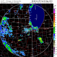
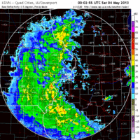
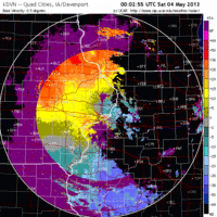
Some birds could be seen skirting the frontal boundary over Davenport early this morning, before getting shut down as the front rolled over them. Some localized concentrations are expected just north of Davenport so if you’re in the area and experienced heavy rain between 2am and sunrise, check your local patch this morning. Chicago, on the other hand, remained clear of the heavy precipitation throughout the night and morning and as a result saw the most birds pass over it into the early hours. Given the east winds I would head inland for birds today, to Palos Woods or some other established inland hotspot.
As always, woodcreeper.com depends on you to report your sightings and be our ‘eyes on the ground’, so please come back and give us an idea of how we’re doing predicting birding conditions in your neck of the woods.
Good Birding,
David
For migration updates in other regions check-
Michigan’s Upper Peninsula -Â The Northwoods BIRDARÂ by Max Henschell
New England -Â Tom Auer’s blog
Florida/SE - Badbirdz Reloaded by Angel and Mariel Abreu
PA/Ohio Valley - Nemesis Bird by Drew Weber
NW Ohio - Birding the Crane Creek by Kenn Kaufman
Pac NW - Birds Over Portland by Greg Haworth
Continental US - eBird BirdCast Forecast & Report by Team eBird

One response to “Migration continues, although fragmented by high pressure and precipitation”
Pretty quiet early this morning. Birded the same stretch as Wednesday morning when I had a lot of action. Didn’t seem to have the diversity (40 species vs 51) of a couple days ago and the numbers are definitely down. A little more action late morning into the afternoon. Did have a FOY Ovenbird. Kaukauna, WI