National overview
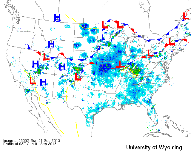
The national synoptic map is full of weak frontal systems creating a hodgepodge of lackluster weather events. This translates to migration conditions across the country ranging from mediocre to optimal. It’s worth checking out the loop from yesterday afternoon through current time on Paul Hurtado’s NEXRAD archive here. Migration was heaviest in the center of the country, sandwiched by two stationary fronts. Also heavy was the migration over the Upper Midwest, northwest of the stationary front, where winds were more northwesterly and favorable. Migration was evident from coast to coast with some of the heaviest migration of the season so far for the Western U.S. The Northeastern U.S. and New England experienced the least migration with suboptimal conditions in terms of winds and atmospheric disturbance prevailing.
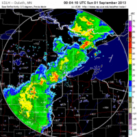
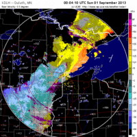
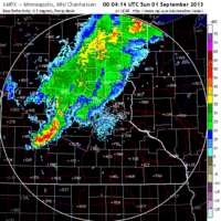
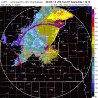
Below are the radar loops from sunset last night through 5:00am (central time) this morning
Upper Midwest
Minnesota
Frames are every 1/2 hour. click on the thumbnail to view the full-sized animation.
Little moved last night immediately after sunset, as a front was passing over both Duluth and the Twin Cities. It only took a moment after passage, though, for the migrant swarm to move into the region and continue through the early morning hours. With northwest in the wind I would expect Park Point in Duluth to be good this morning. As with Wisconsin Point, the Jaeger show has been pretty great the last few days- so get up (or down) there and find some birds!
Wisconsin
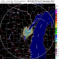
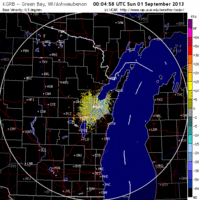
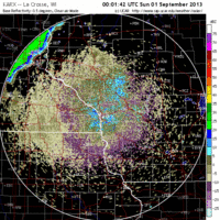
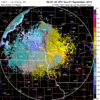
Frames are every 1/2 hour. click on the thumbnail to view the full-sized animation.
Northwest winds brought more birds into Wisconsin last night and appear to have pushed some of them up against Lake Michigan early this morning. Birders along the lake should hit lakeshore migrant traps first thing this morning. Over La Crosse the radar indicated a small early pulse followed by birds behind a passing front arriving into the La Crosse region this morning. Birders in the region should check out forest patches within the city, as well as hotspots along the river for newly arrived birds. Further north another large arrival of migrants followed a passing front, suggesting conditions at Wisconsin Point will be good for concentrating birds along the roadside out to the point. Aside from that, the Jaeger show from Wisconsin point has been spectacular the last few days including at least one Long-tailed Jaeger seen and photographed well. This is a great time to get up there and scan the lake, especially given the wind forecast through Monday!
Iowa & Illinois
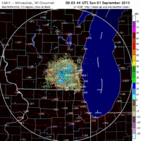
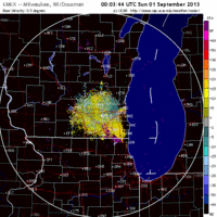
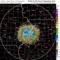
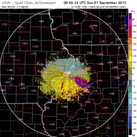
Frames are every 1/2 hour. click on the thumbnail to view the full-sized animation.
Unfortunately the Chicago radar was down last night so we don’t have any way to visualize it directly, but given the push of bird evident on the Milwaukee, WI radar there is a high probability of bird concentrations throughout the lakeshore migrant traps around Chicago. Migration over Iowa was widespread and dispersed last night suggesting birds will be spread across the landscape today. For those of you birding throughout northern Iowa, look for woodlots in a matrix of agriculture for the greatest concentrations of migrants today.
As always, woodcreeper.com depends on you to report your sightings and be our ‘eyes on the ground’, so please come back and give us an idea of how we’re doing predicting birding conditions in your neck of the woods.
Good Birding,
David
For migration updates in other regions check-
Michigan’s Upper Peninsula – The Northwoods BIRDAR by Max Henschell
New England – Tom Auer’s blog
Florida/SE – Badbirdz Reloaded by Angel and Mariel Abreu
PA/Ohio Valley – Nemesis Bird by Drew Weber
NW Ohio – Birding the Crane Creek by Kenn Kaufman
Pac NW – Birds Over Portland by Greg Haworth
Continental US – eBird BirdCast Forecast & Report by Team eBird

